John Thomas, arrived in the colony about the year 1820, and some years after his arrival entered on farming pursuits, and acquired a grazing and farming property on the swamps near Wallsend, afterwards known as Glendor Farm. This property, or the greater part, was purchased from Dr. Scott, who was the former owner of the Stockton Estate.
Newcastle Morning Herald and Miners’ Advocate, 9 May 1902.
John Thomas died in 1838, and was buried in the cemetery at Christ Church Cathedral in Newcastle. The 1902 article above refers to “134 acres at Glendor” being left to John’s sons, Henry and Denis. An 1890 map however, shows the “Glendor” property being only 50 acres in size.
Overlaying the 1890 map into Google Earth shows that the Glendor property was where the northern tip of Maryland is today.
The 1890 map with “Glendor” overlaid into Google Earth.The approximate area of the 50 acre “Glendor” property of J Thomas.
Presumably the nearby Glendore Public School is named after the “Glendor” property.
At the northern tip of Callan Ave there is a grave site with a memorial monument for Charles Henry Thomas (died 13 August 1904) and Isabel Thomas (died 18 June 1915).
Location of the Thomas Family cemetery on Callan Avenue in Maryland. OpenStreetMap.Grave of Charles Henry Thomas and Isabel Thomas.
After petitions from residents, a northern section of Wallsend municipality was separated and proclaimed as the “Borough of Plattsburg” on 27 December 1876.
Commencing at the north-west corner of the Borough of Wallsend, as proclaimed 27th February, 1874; and bounded thence on the west by part of the west boundary of that Borough bearing south 120 chains to the boundary dividing W. C. Wentworth’s 986 acres from the Newcastle and Wallsend Company’s land; thence on the south by part of the south boundaries of W. C- Wentworth’s 986 acres aforesaid and H. and C. Cowper and G. Miller’s 1,280 acres grant, in trust, bearing east in all 120 chains ; thence by a line bearing south 8½ chains to the Wallsend Coal Company’s line of railway; thence along the northern side of the Wallsend Coal Company’s line of railway north-easterly, to the east boundary of the Borough of Wallsend, as proclaimed 27th February, 1874, aforesaid ; thence on the east by part of that boundary bearing north about 73 chains to the north-east corner of that Borough; and thence on the north by the north boundary of that Borough bearing west 240 chains, to the point of commencement.
The 1876 Plattsburg municipality area (shaded in yellow) that was separated from Wallsend municipality (white square).
The original boundary of Plattsburg Council included areas of the following current suburbs
Parish of Kahibah map that shows part of the southern border (shaded in cyan for visibility) of the Borough of Plattsburg. Historical Land Records Viewer.
Fletcher
Maryland
Shortland
Birmingham Gardens
Wallsend
Plattsburg Council area outlined in yellow, with the present day suburbs shaded in various colours.
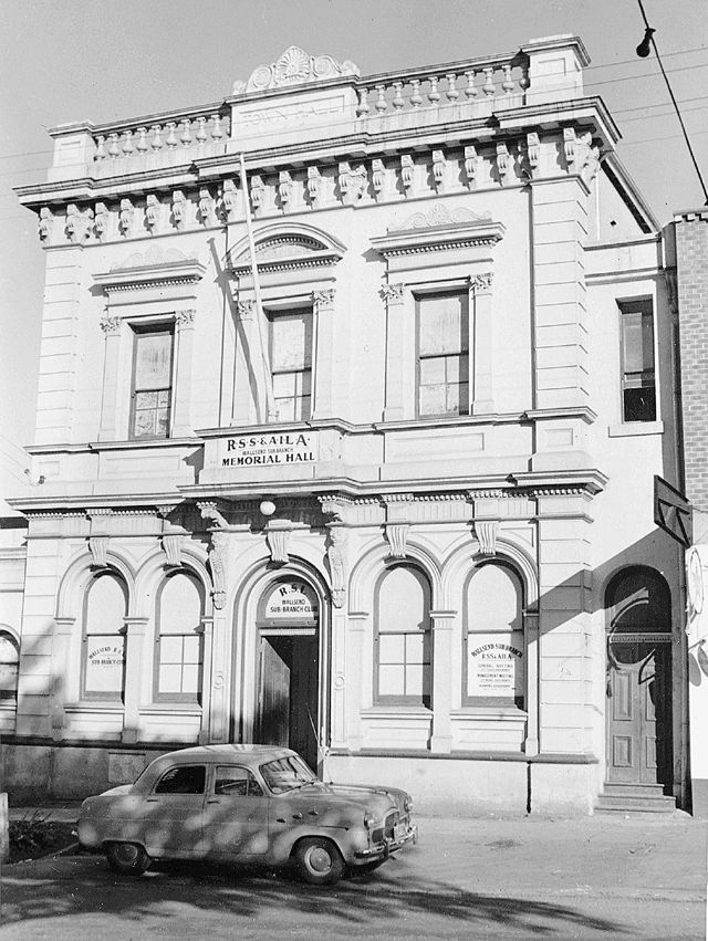
Plattsburg Council was merged back into Wallsend Council on 20 October 1915.
Questions yet to be answered
Where was Plattsburg council chambers located, and are there any photographs of it?
Wallsend Council was incorporated on 27 February 1874. The municipality proclaimed was a square area of 240 chains (3 miles) on each side.
Commencing at the south-eastern corner stone of the Wallsend Coal Company’s Estate, at the south-eastern corner of J. B. Weller’s 320 acres grant; and bounded thence on part of the east by the east boundary of that grant and part of the east boundary of J. B. Weller’s 1,200 acres grant, being in all a line bearing north 120 chains, and forming partly the west boundaries of the Municipal Districts of Lambton and Waratah; on the north by a line west, passing through the 1,200 acres grant aforesaid, H. and C. Cowper and G. Miller’s 1,280 acres grant (in trust), and A. W. Scott’s 598 acres grant, 240 chains; on the west by part of the boundary dividing A. W. Scott’s 598 acres aforesaid, and W. C. Wentworth’s 640 acres, and its southerly prolongation, passing through W. C. Wentworth’s 986 acres grant and Newcastle Wallsend Company’s 181 acres and part of 166 acres, being a line bearing south in all 240 chains ; on the south by a line bearing east, passing through Newcastle Wallsend Company’s 166 acres aforesaid, and 159 acres, and J. Weller’s 2,560 acres grant, about 240 chains to the western boundary of Morehead and Young’s 320 acres, portion 16, parish of Newcastle; and on the remainder of the east by part of the west boundary of that portion and the west boundary of Morehead and Young’s portion 15, and part of the western boundary of the Municipal District of Lambton, being the west boundary of Morehead and Young’s portion 14, and W. A. Steel’s 80 acres, bearing northerly in all 120 chains, to the point of commencement.
The original boundary of Wallsend Council included areas of the following current suburbs
Fletcher
Maryland
Shortland
Birmingham Gardens
Jesmond
Lambton
New Lambton Heights
Rankin Park
Elermore Vale
Wallsend
Wallsend Council area outlined in white, with the present day suburbs shaded in various colours.
In December 1876 the northern part of Wallsend municipality was separated to form the Borough of Plattsburg, leaving a reduced area for Wallsend Council.
Area of Wallsend Council in December 1876 shaded green.
On 20 October 1915 Plattsburg Council was merged back into Wallsend Council, restoring its original area.