After petitions from residents, a northern section of Wallsend municipality was separated and proclaimed as the “Borough of Plattsburg” on 27 December 1876.
Commencing at the north-west corner of the Borough of Wallsend, as proclaimed 27th February, 1874; and bounded thence on the west by part of the west boundary of that Borough bearing south 120 chains to the boundary dividing W. C. Wentworth’s 986 acres from the Newcastle and Wallsend Company’s land; thence on the south by part of the south boundaries of W. C- Wentworth’s 986 acres aforesaid and H. and C. Cowper and G. Miller’s 1,280 acres grant, in trust, bearing east in all 120 chains ; thence by a line bearing south 8½ chains to the Wallsend Coal Company’s line of railway; thence along the northern side of the Wallsend Coal Company’s line of railway north-easterly, to the east boundary of the Borough of Wallsend, as proclaimed 27th February, 1874, aforesaid ; thence on the east by part of that boundary bearing north about 73 chains to the north-east corner of that Borough; and thence on the north by the north boundary of that Borough bearing west 240 chains, to the point of commencement.
NSW Government Gazette, 27 December 1876.

The original boundary of Plattsburg Council included areas of the following current suburbs

- Fletcher
- Maryland
- Shortland
- Birmingham Gardens
- Wallsend

Plattsburg Council was merged back into Wallsend Council on 20 October 1915.
Questions yet to be answered
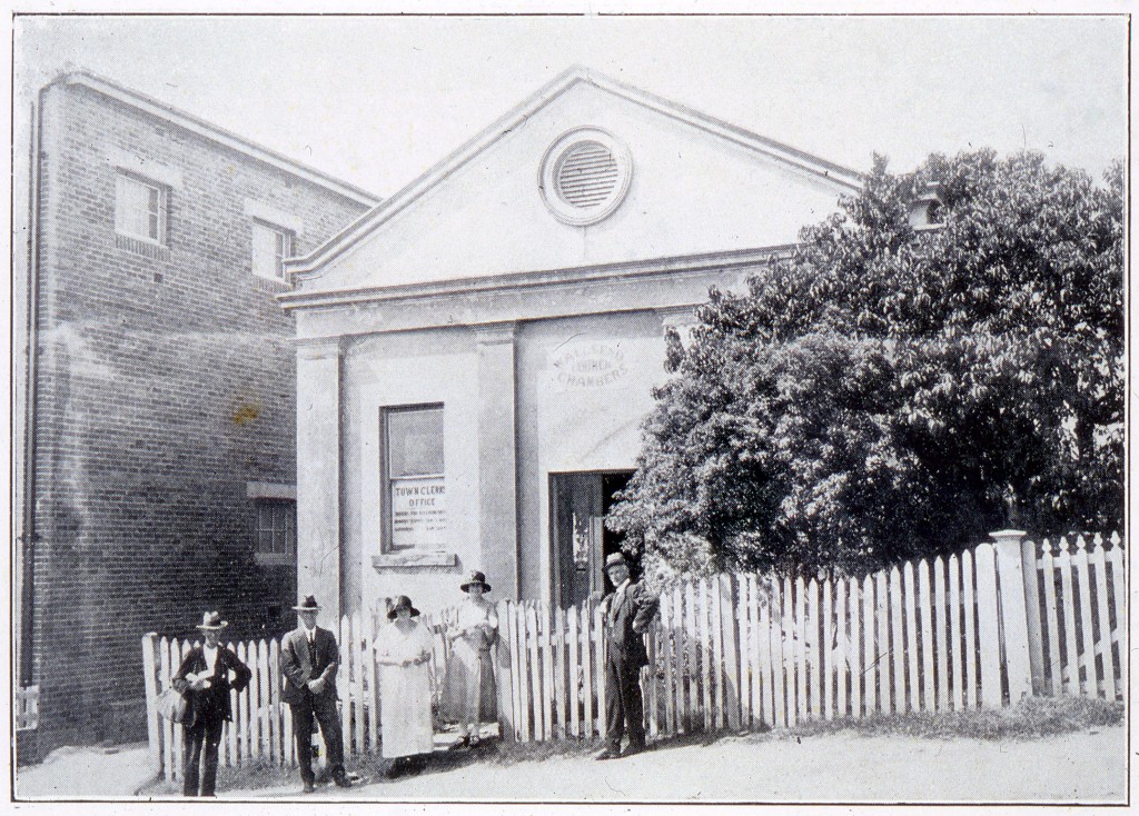
- Where was Plattsburg council chambers located, and are there any photographs of it?


