“Flaggy Creek” seems to have been quite a common name for a waterway. In the Newcastle area there is a Flaggy Creek near Glenrock, and there were at least two waterways in the Wallsend area previously known as Flaggy Creek, which have different names today.
1. Flaggy Creek- Whitebridge/Kahibah
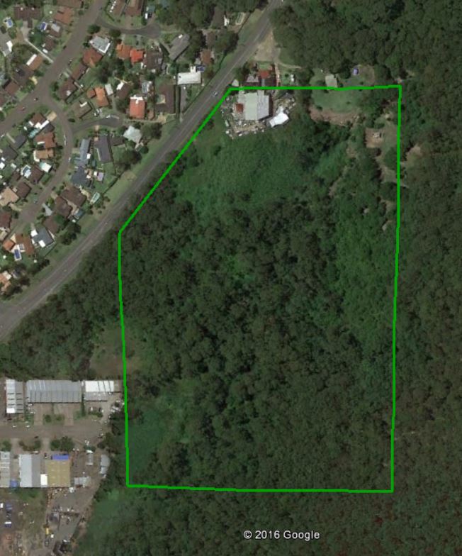
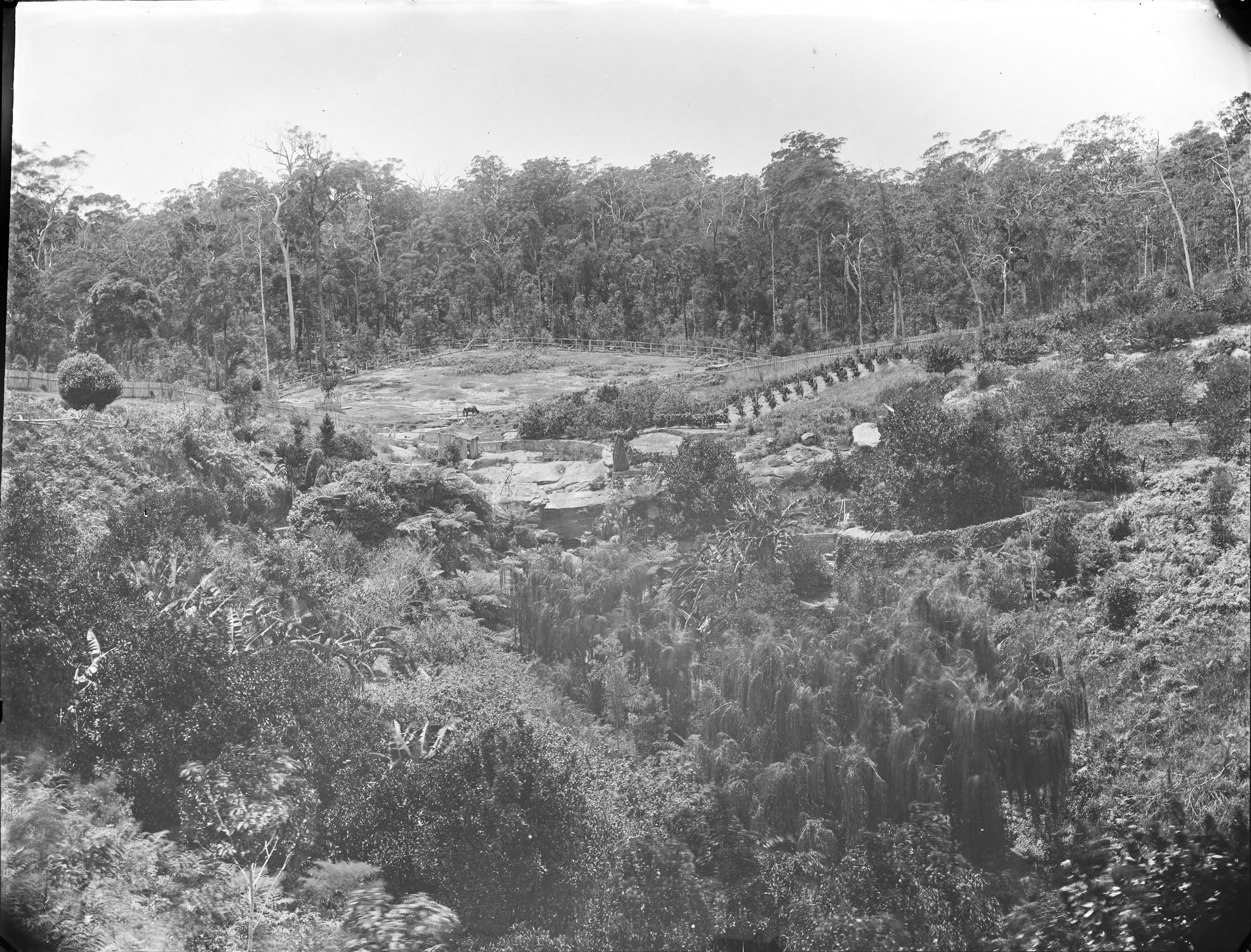
The name “Flaggy Creek” is most commonly associated with the waterway that runs down into Glenrock Lagoon in Whitebridge.

The Waratah Coal Company sunk a shaft in the Flaggy Creek area in 1886. The shaft is marked on some old Kahibah parish maps.

The approximate location of this shaft is shown below.

2. Flaggy Creek – Barnsley
In the 19th century there was another Flaggy Creek, which was often referred to as being in the Wallsend district. An item from the Wallsend correspondent of the Newcastle Chronicle on 30 May 1868 refers to an accident happening to a man “at Flaggy Creek.” A land title from 1865 shows that Flaggy Ck was an alternative name for Slatey Ck in the Barnsley area.

By 1881 the “Slatey Ck” name seems to disappear and the “Flaggy Ck” name is used. For example a subdivision map for “Highgate near Wallsend”, shows the waterway to the west of the subdivision is named Flaggy Creek.

An 1888 article refers to Flaggy Creek at Young Wallsend, which was the original name of Edgeworth.
We have been favoured with some magnificent oranges grown by Mr. William Johnson, Flaggy Creek, Young Wallsend.
Newcastle Morning Herald and Miners’ Advocate, 6 October 1888.

3. Flaggy Creek – Elermore Vale
The creek that runs through Croudace Road at Elermore Vale at a place formerly called Chinaman’s Flat, was at one time called Flaggy Creek.
Edward James Howard, complainant, deposed that he resided at Chinaman Flat or Flaggy Creek.
Newcastle Morning Herald and Miners’ Advocate, 17 December 1887.
The creek is now the upper reaches of Ironbark Creek.

Spot the difference
Where newspaper articles refer to a Flaggy Creek in the Wallsend district, it can be difficult to determine which creek is meant. Two pieces of information assist in this regard. Firstly, the Flaggy Creek at Elermore Vale was entirely within the borders of Wallsend Municipal Council, whereas Barnsley’s Flaggy Creek was about 3 miles to the west. Therefore a mention of Flaggy Creek in reference to Wallsend Council matters is almost certainly the Elermore Vale area. Secondly, the road to Cooranbong passed over Flaggy Creek at Barnsley, so a mention of the road to Cooranbong would indicate the Barnsley area creek.

Using these differentiators, the first unambiguous reference to the Flaggy Creek in the Barnsley area comes in 1870 …
I reached Lake Macquarie by way of Cockle Creek, the head of which is about three miles distant from the colliery township of Wallsend. Having walked from Wallsend to the creek, I was conveyed thence to the residence of Mr. Chapman, on Stony Creek (another small stream, emptying itself into the lake), in a boat belonging to that gentleman and his partner, Mr Lyster. But for this convenience I should have been compelled to ride from Wallsend on horseback, passing through the parish of Teralba, on the Coorambung-road, and proceeding thence over “Flaggy Creek,” “Cocked-hat Creek,” “Sandy Creek,” and sundry other streamlets more remarkable for their “curious nomenclature than for anything else.
Australian Town and Country Journal, 11 June 1870.
This page is part of the collection of Newcastle’s Obsolete Place Names.