
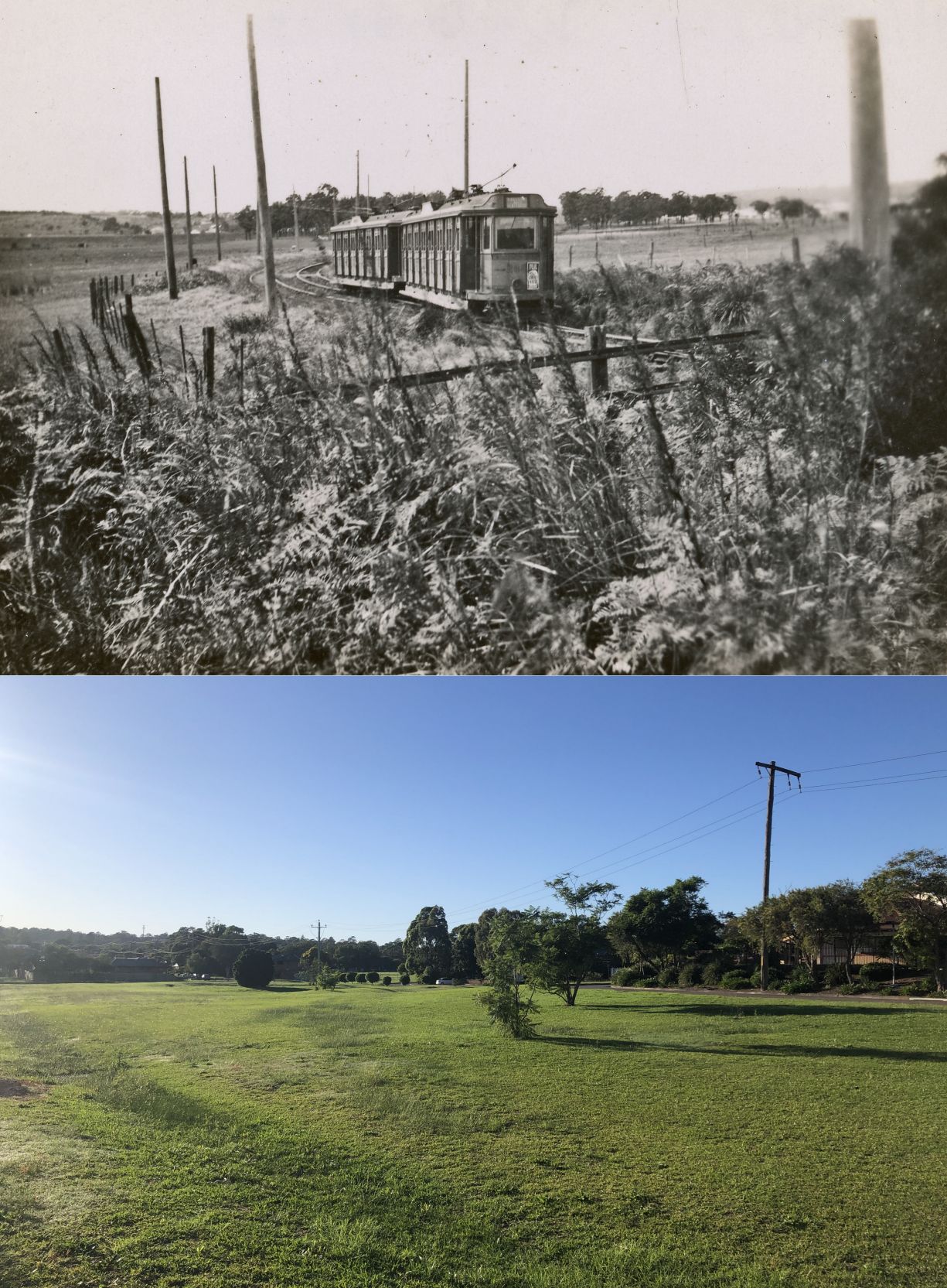
This morning I snapped this photo near the Jesmond Grove aged care home. The Wallsend tram line used to curve through what is now a grass lawn. What’s interesting about this location is there’s a parchmark to be found.
A parchmark is where under the right climatic circumstances, the drying out of vegetation can reveal structures under the surface when viewed in an aerial photograph. So the October 2014 image from Google Earth shows a clear curved line of the former tram line.

Lachlan
I can’t help but point you toward this viewer from NSW gov that uses the images I found through here from the Uni for 1966 where you can overlay and slide between 1966 and modern image.
https://portal.spatial.nsw.gov.au/portal/apps/sites/#/home/pages/map-viewers
Trust you find these useful?