
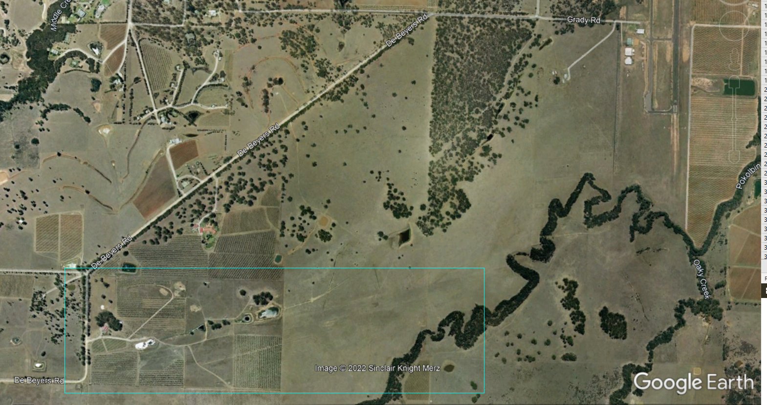
Mike Scanlon had an interesting history article in the Newcastle Herald this weekend (22 October 2022), on the mystery of the forgotten World War 2 runway at Pokolbin. In 1942 the RAAF built an air station at Pokolbin. The north-south runway was located where the current Cessnock airport is now. But there was also second runway located towards the south-west.
In the article Mike mentions that this old east-west runway can still be seen in Google’s satellite views. Using the historical imagery feature in Google Earth Pro and winding back to 2007, indeed shows a faint yet quite distinct outline of the old runway lying beneath fields and vineyards.
Polkolbin is actually two landing strips. Yes you are right in regards to the area you have indicated but the present Cessnock is the other airstrip.